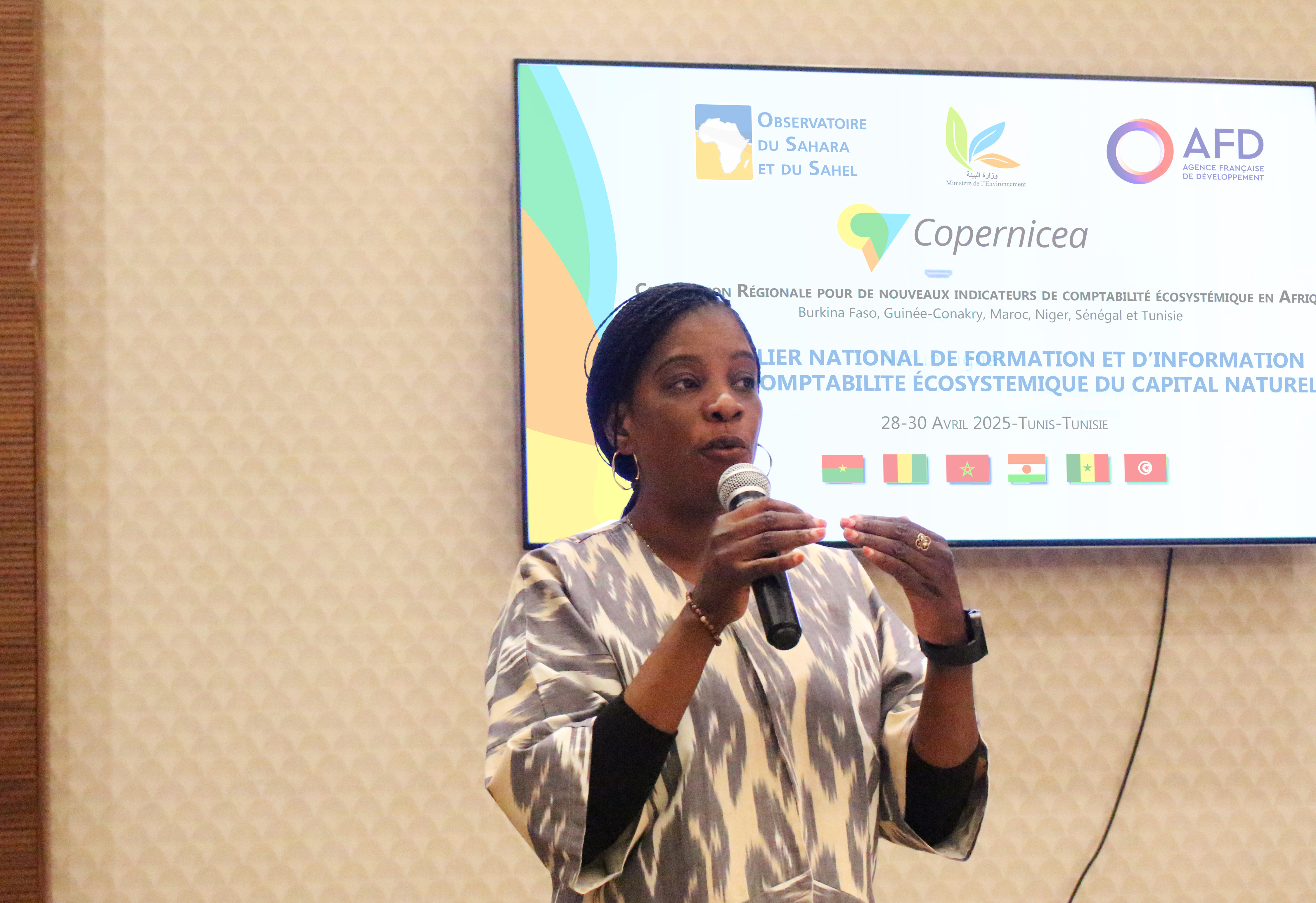
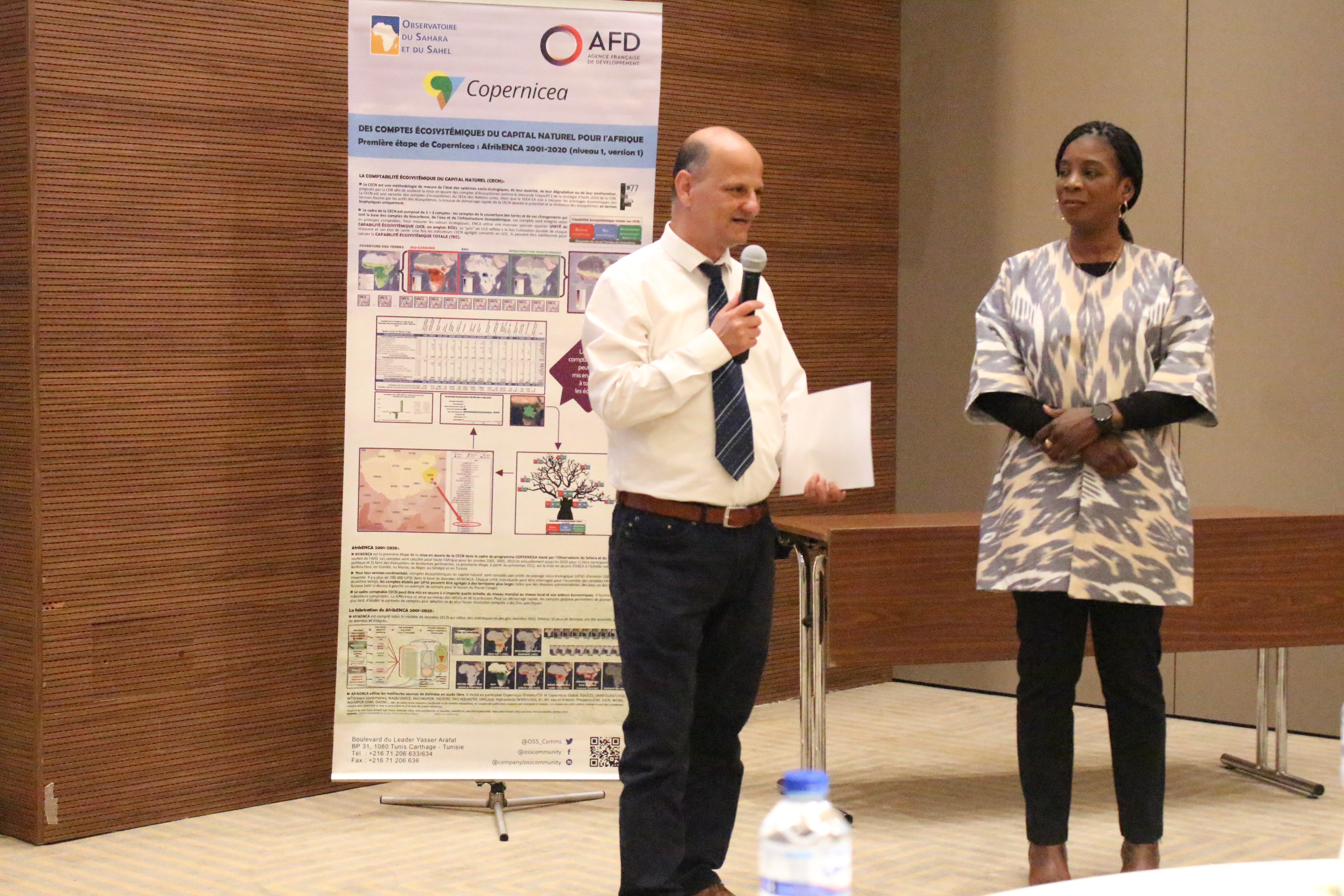
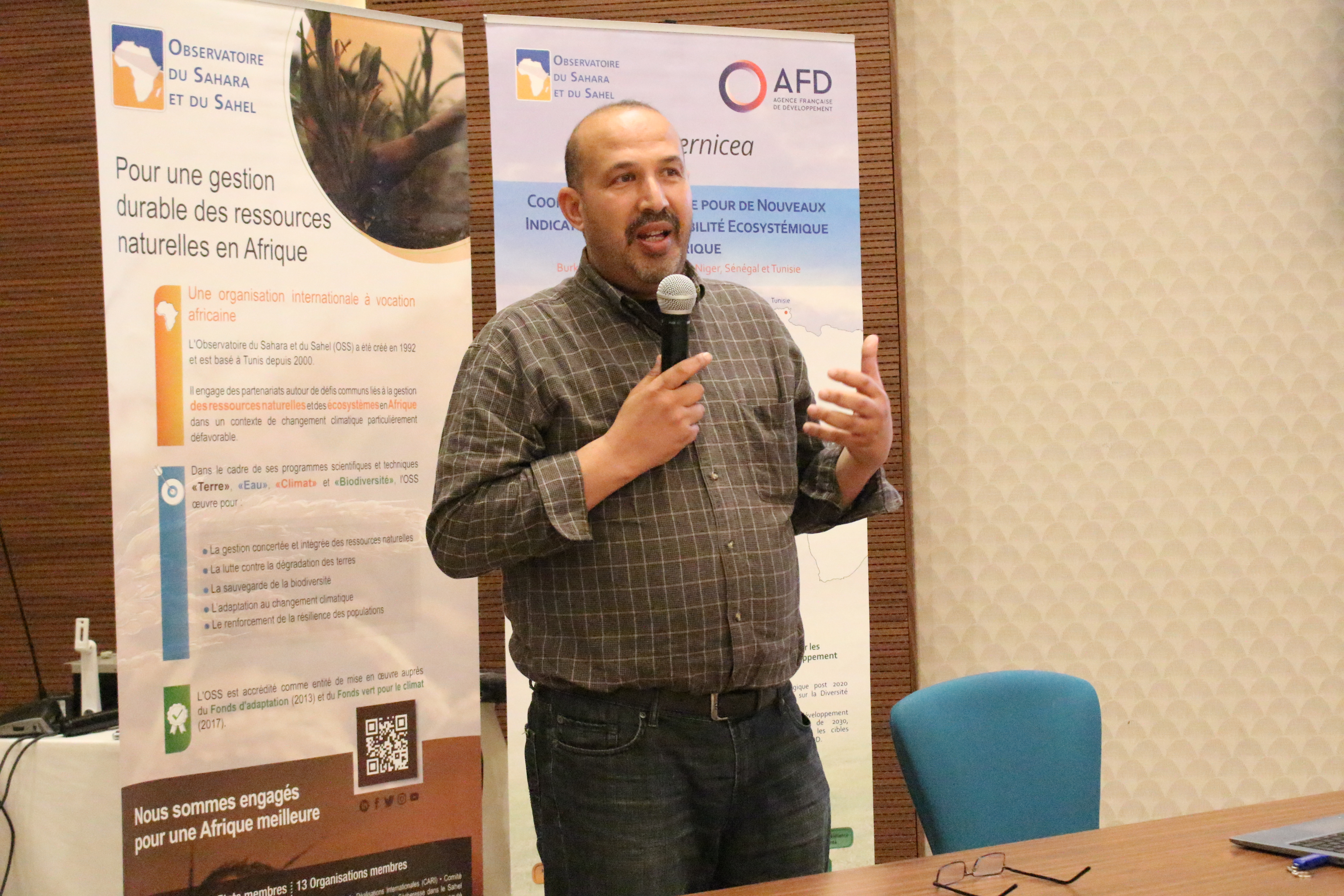

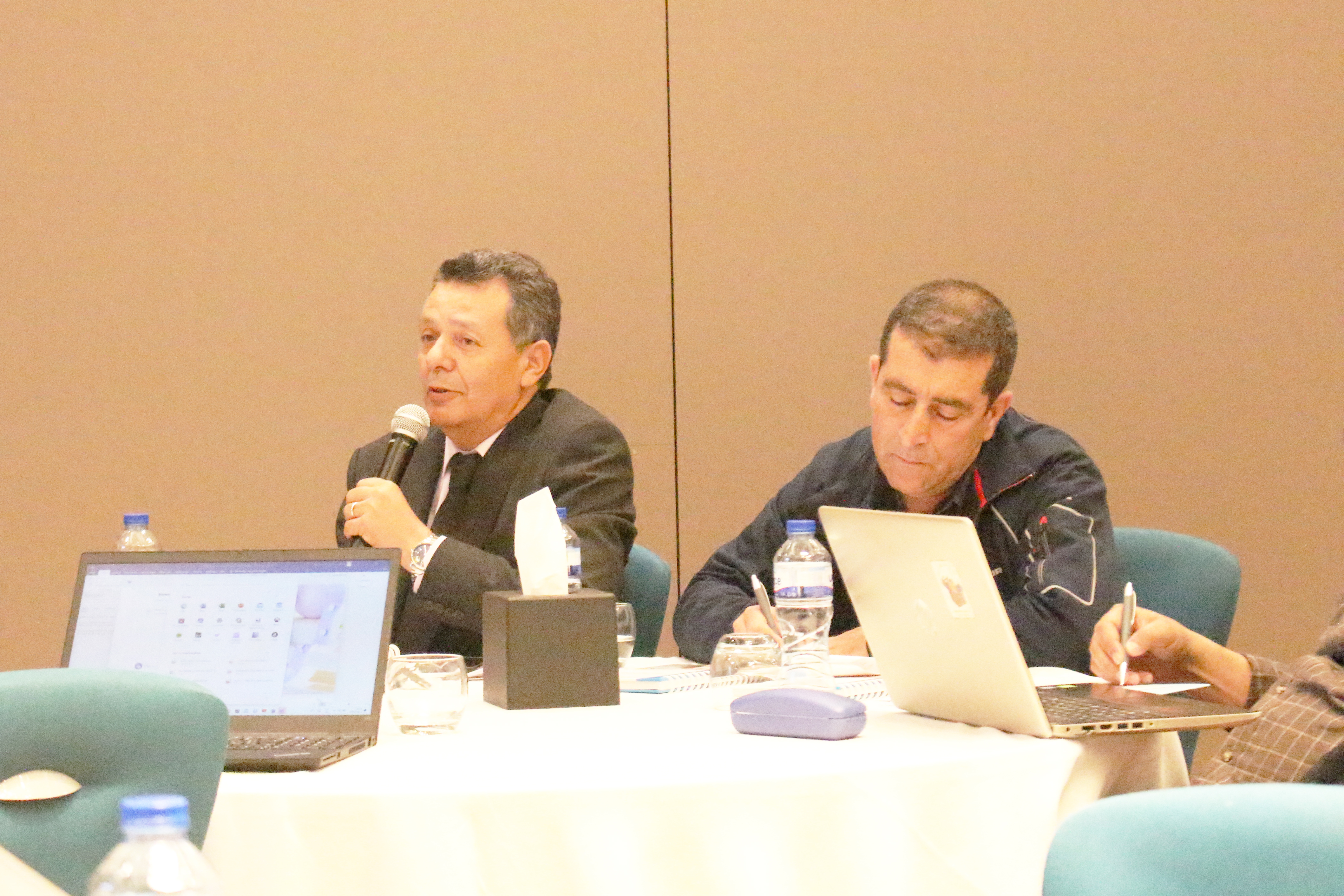

As part of ongoing efforts to strengthen the integration of Ecosystem Natural Capital Accounting (ENCA) into national policies, the third national training and information workshop opened on April 28, 2025, in Tunis, Tunisia, and will continue until April 30. Jointly organized by the Ministry of Environment, through the General Directorate for Environment and Quality of Life (DGEQV), and the Sahara and Sahel Observatory (OSS), the workshop aims to enhance the capacities of national stakeholders involved in the implementation of the COPERNICEA project.
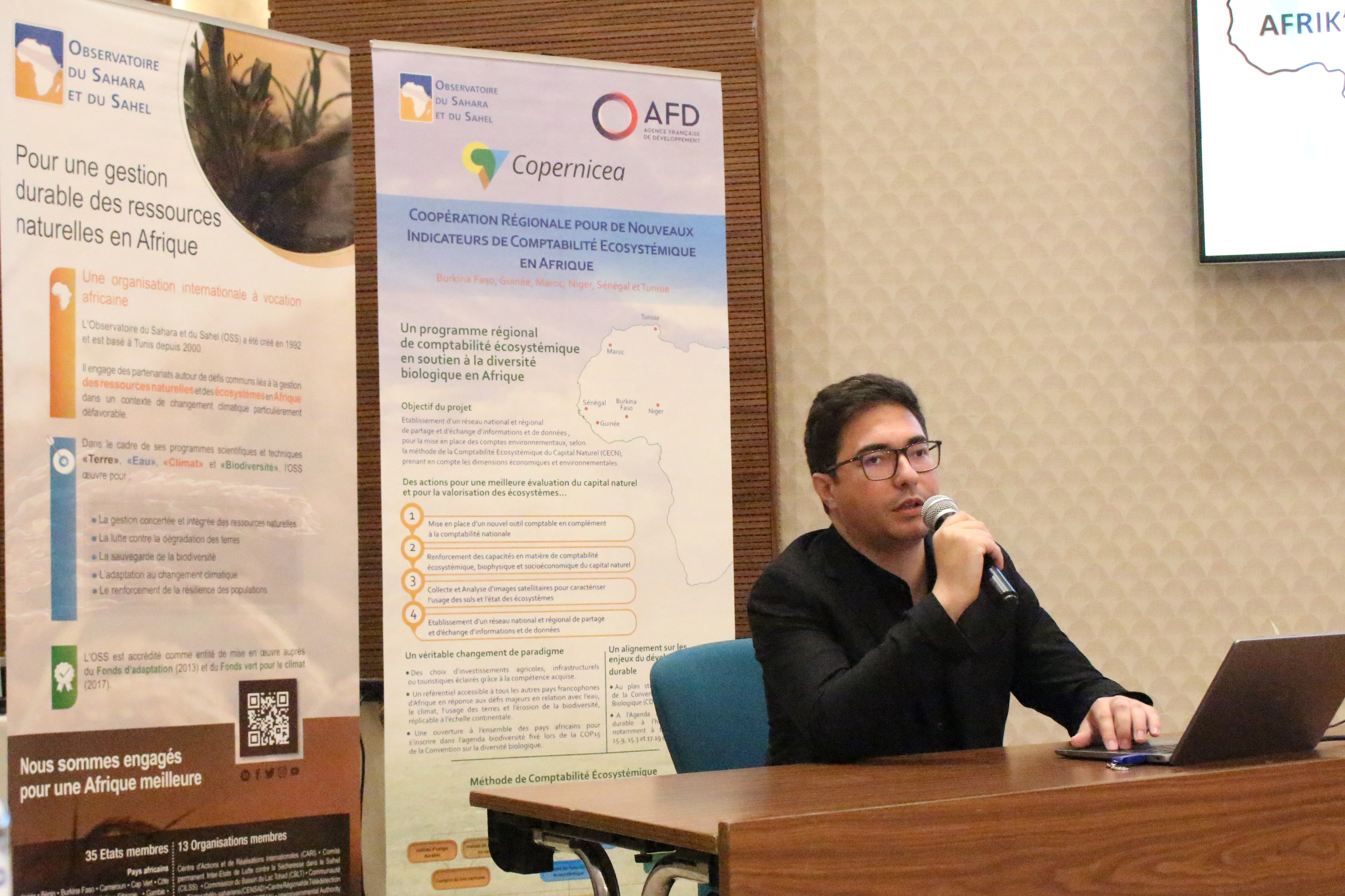
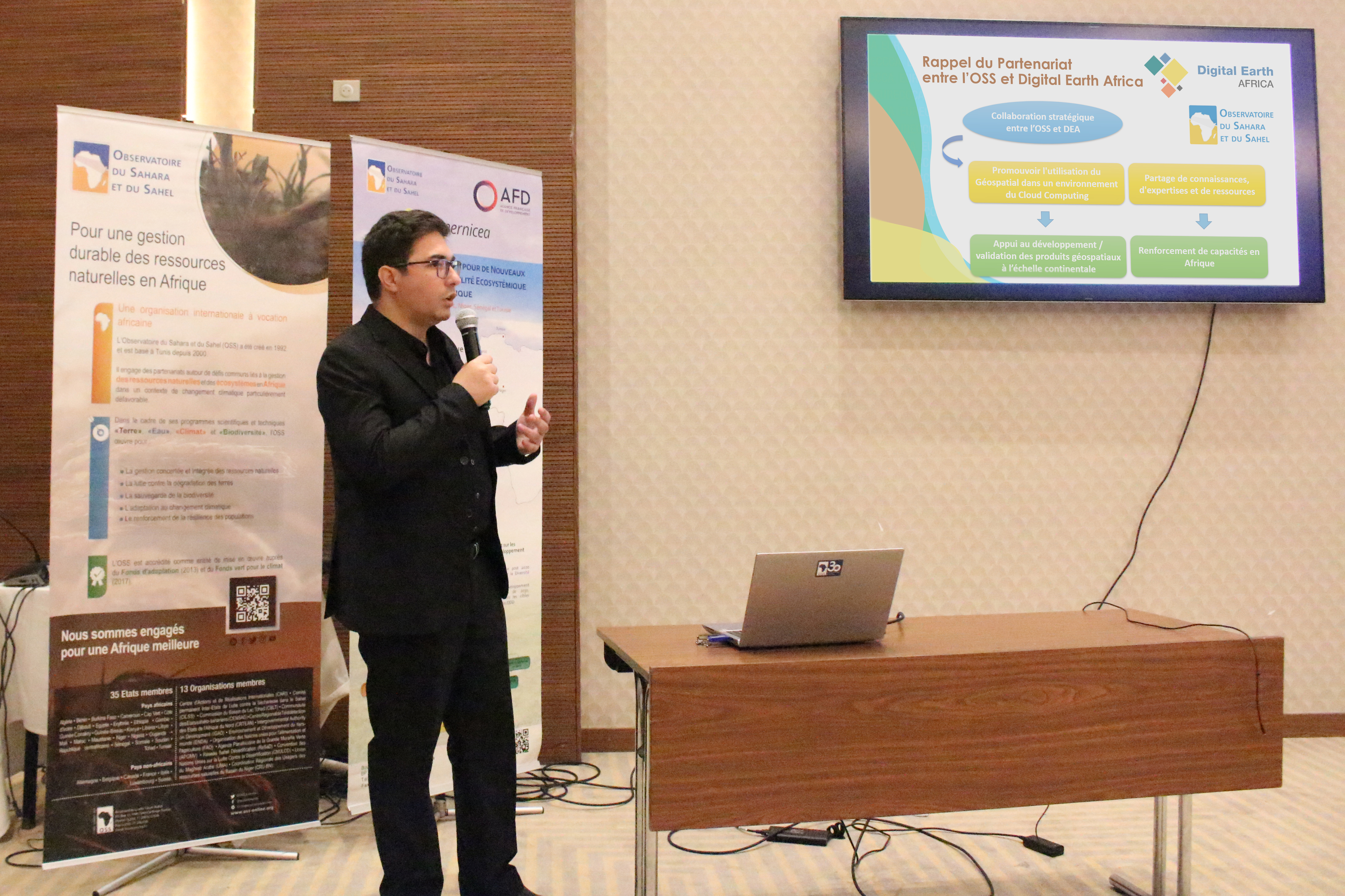
The focus is on the procedures for developing ecosystem accounts for carbon and water, as well as on presenting and validating the deliverables produced at the national level. The workshop also aims to deepen understanding of the ENCA concept, introduce geospatial decision-support tools such as the AFRIK’ENCA and GMES platforms, guide participants in applying the simplified workflow developed by OSS for carbon and water accounts, and validate the deliverables prepared by the national consultant by highlighting their operational relevance.
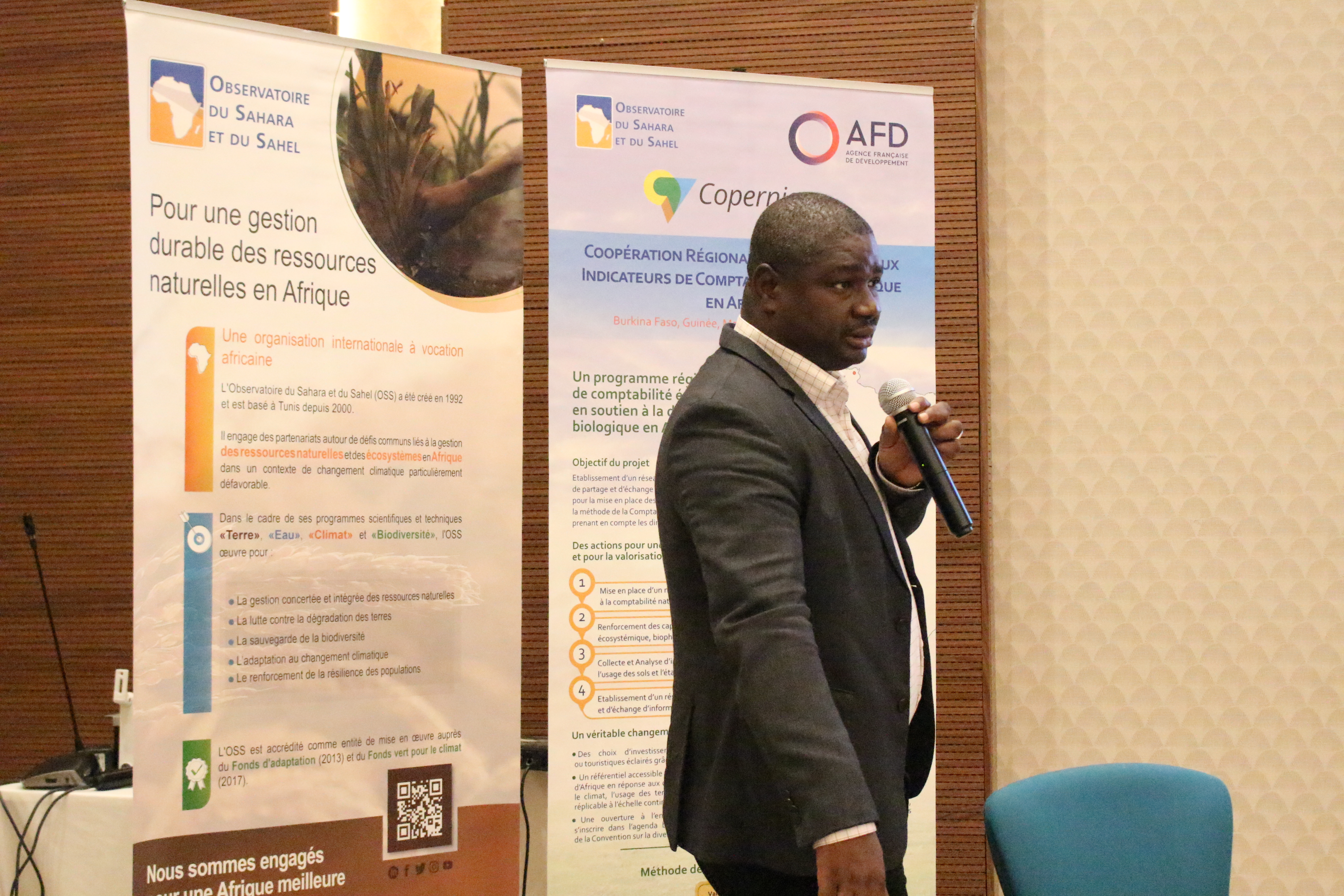
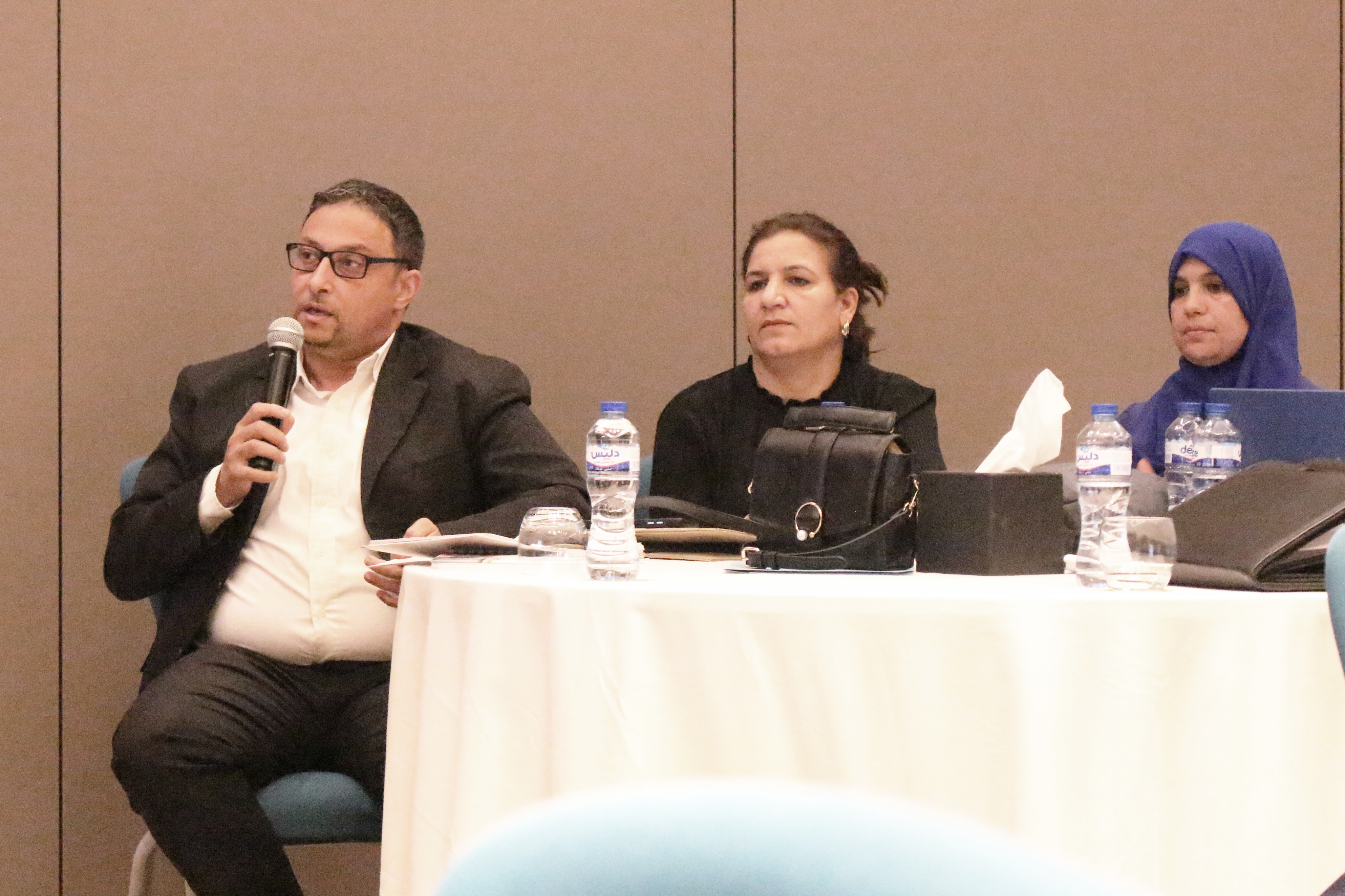
The workshop was opened by Ms. Ndeye Fatou MAR, Director of the Land and Biodiversity Department at OSS, and Mr. Hédi CHIBILI, Director General of the DGEQV. In their opening remarks, they emphasized the strategic importance of ENCA for developing indicators to monitor progress in preserving and enhancing natural capital.
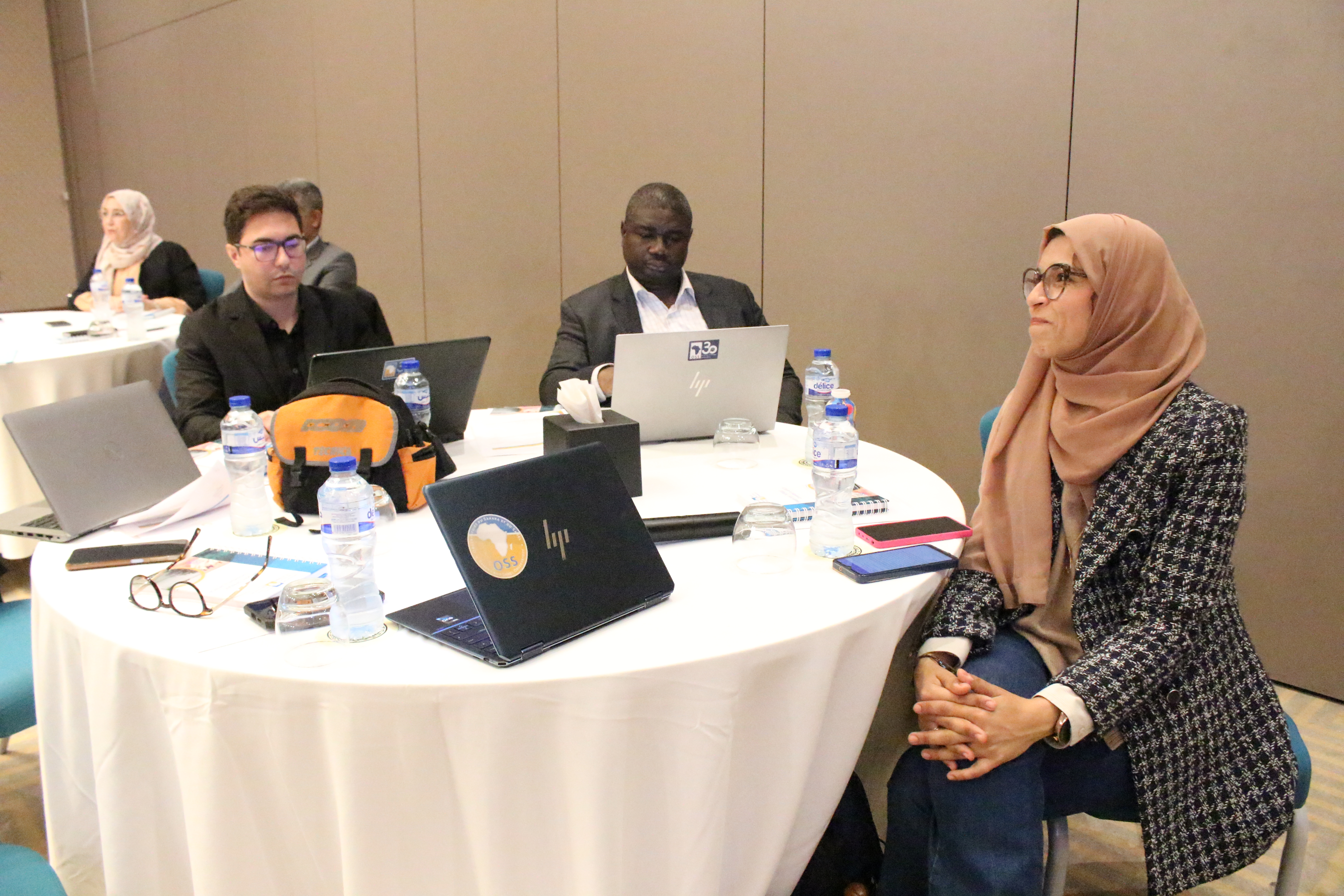
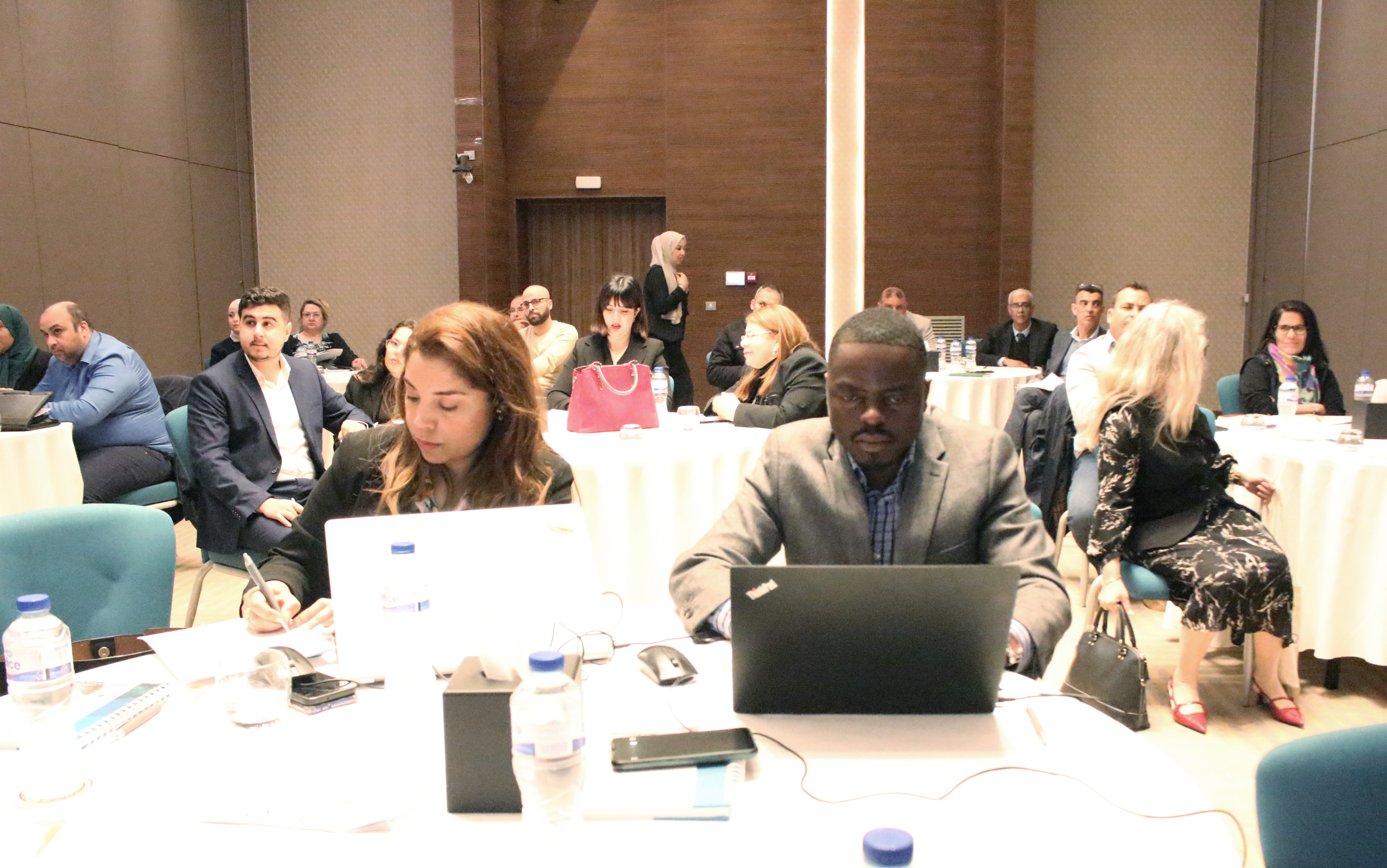
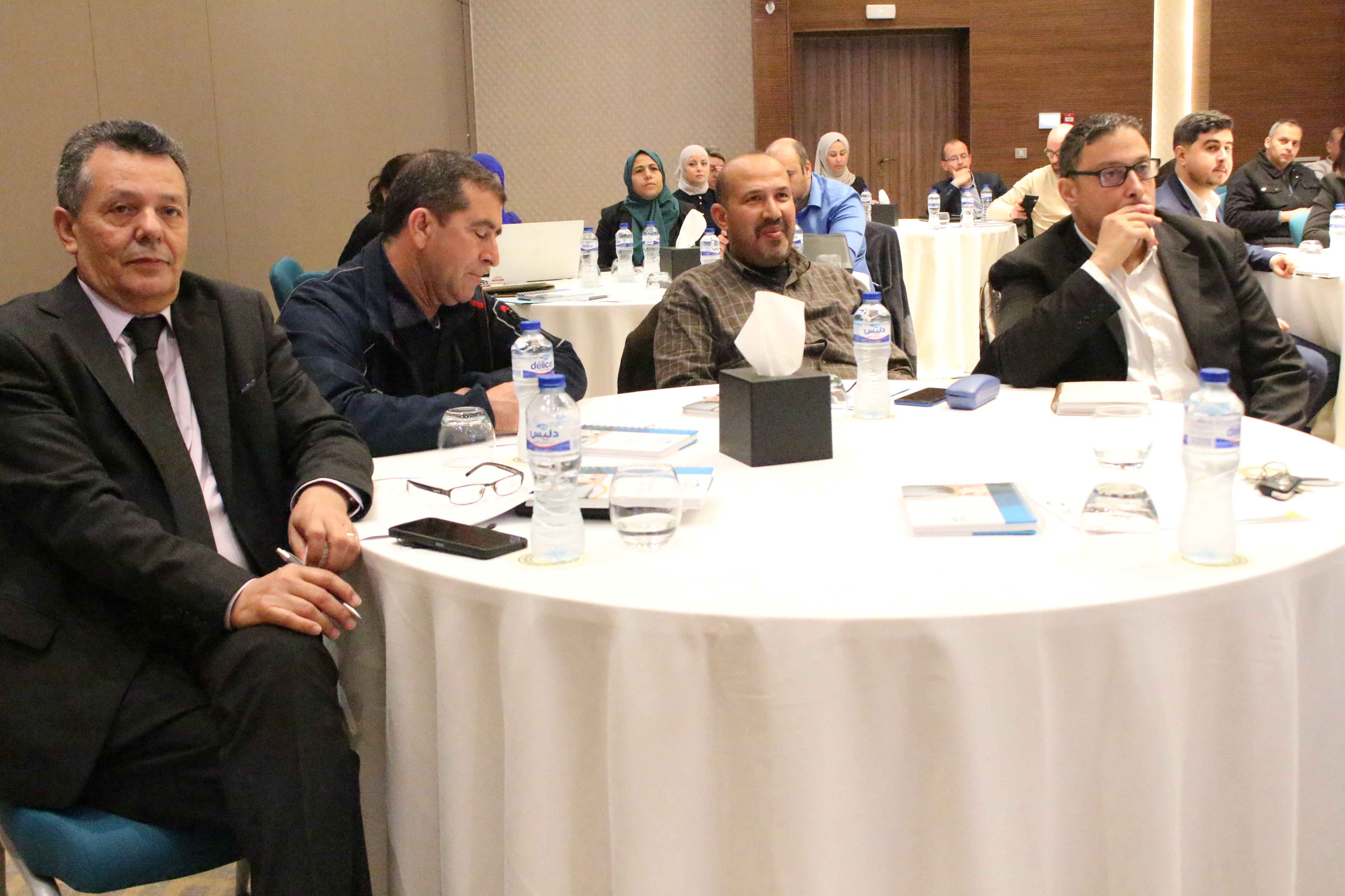
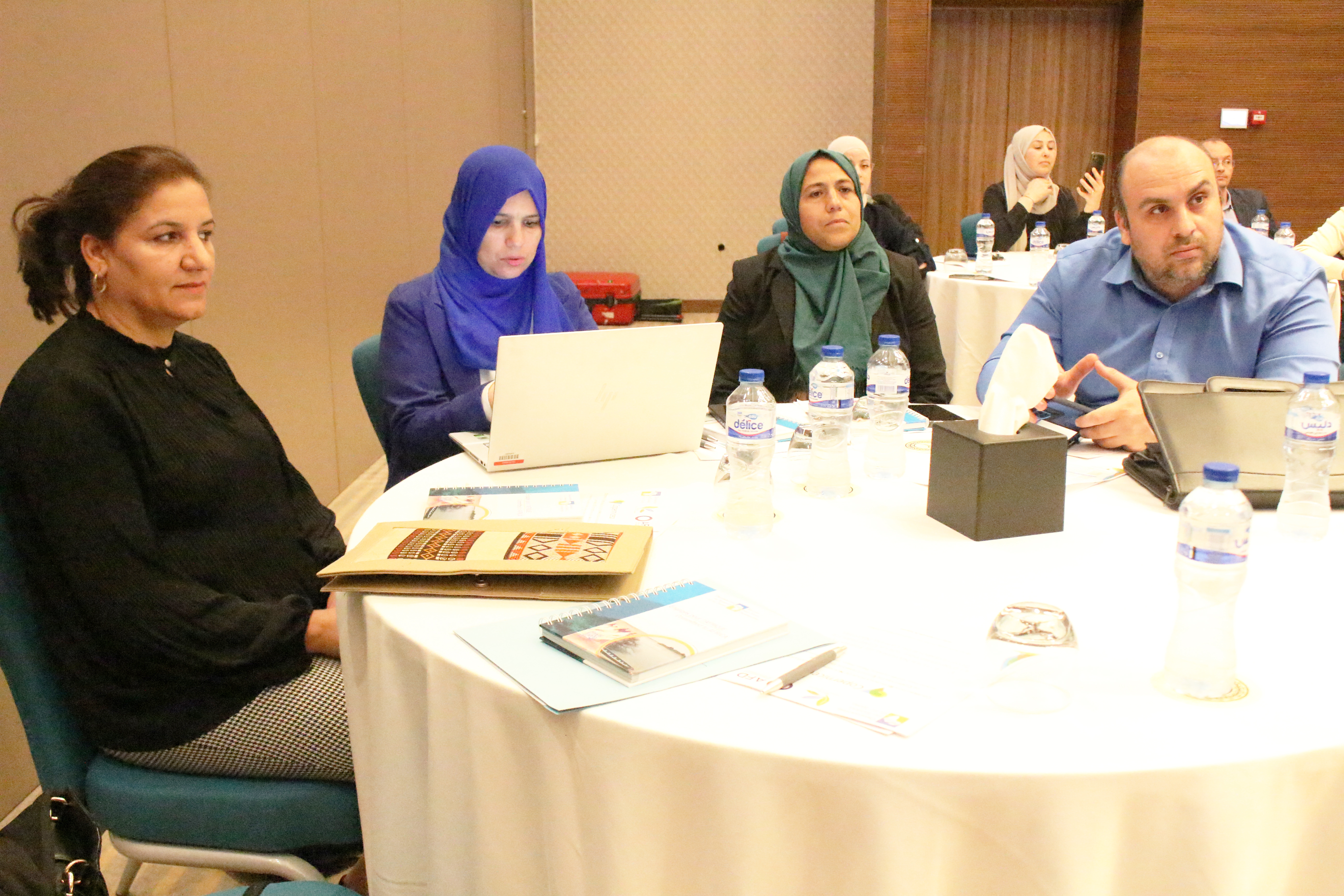
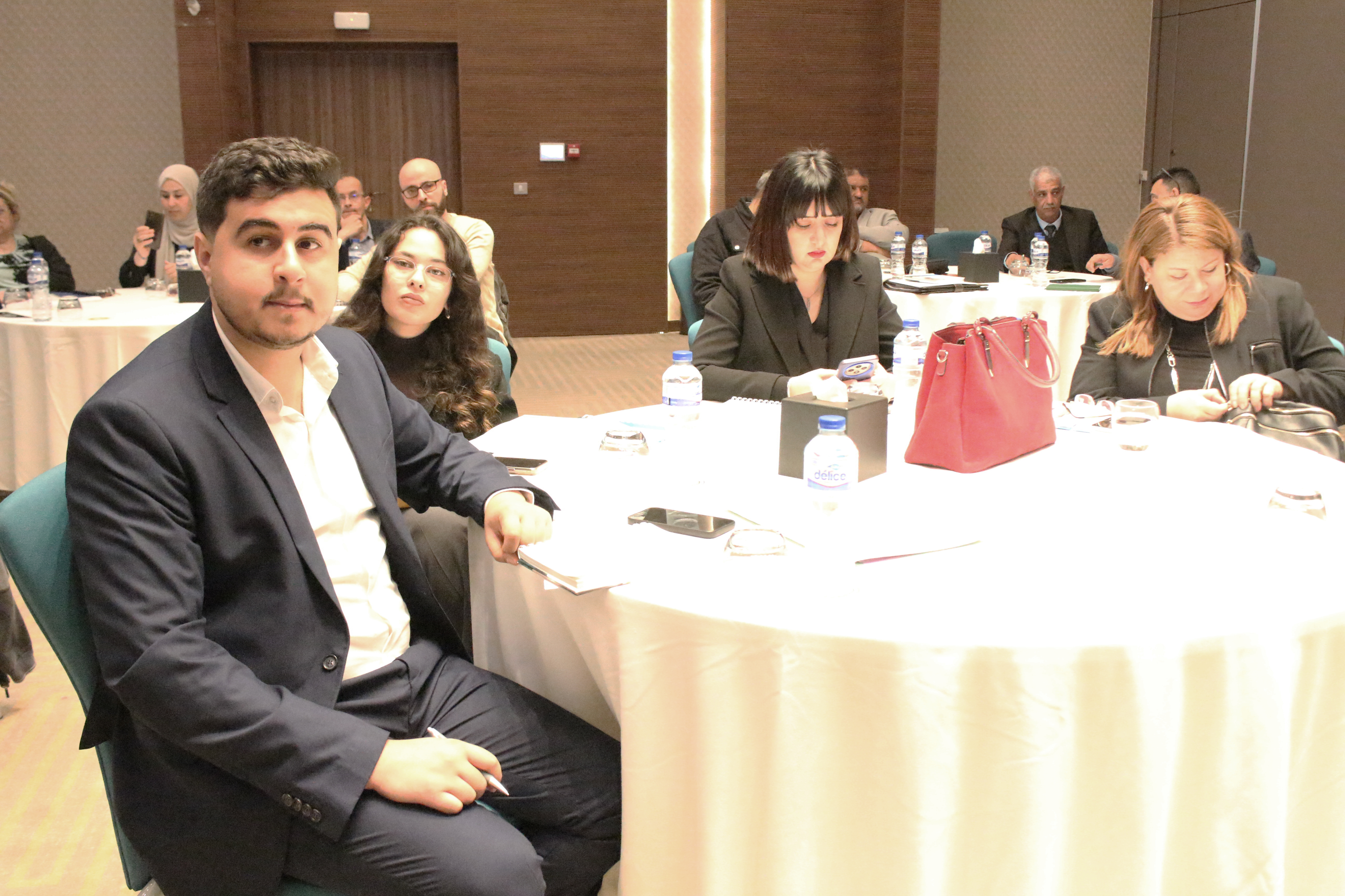
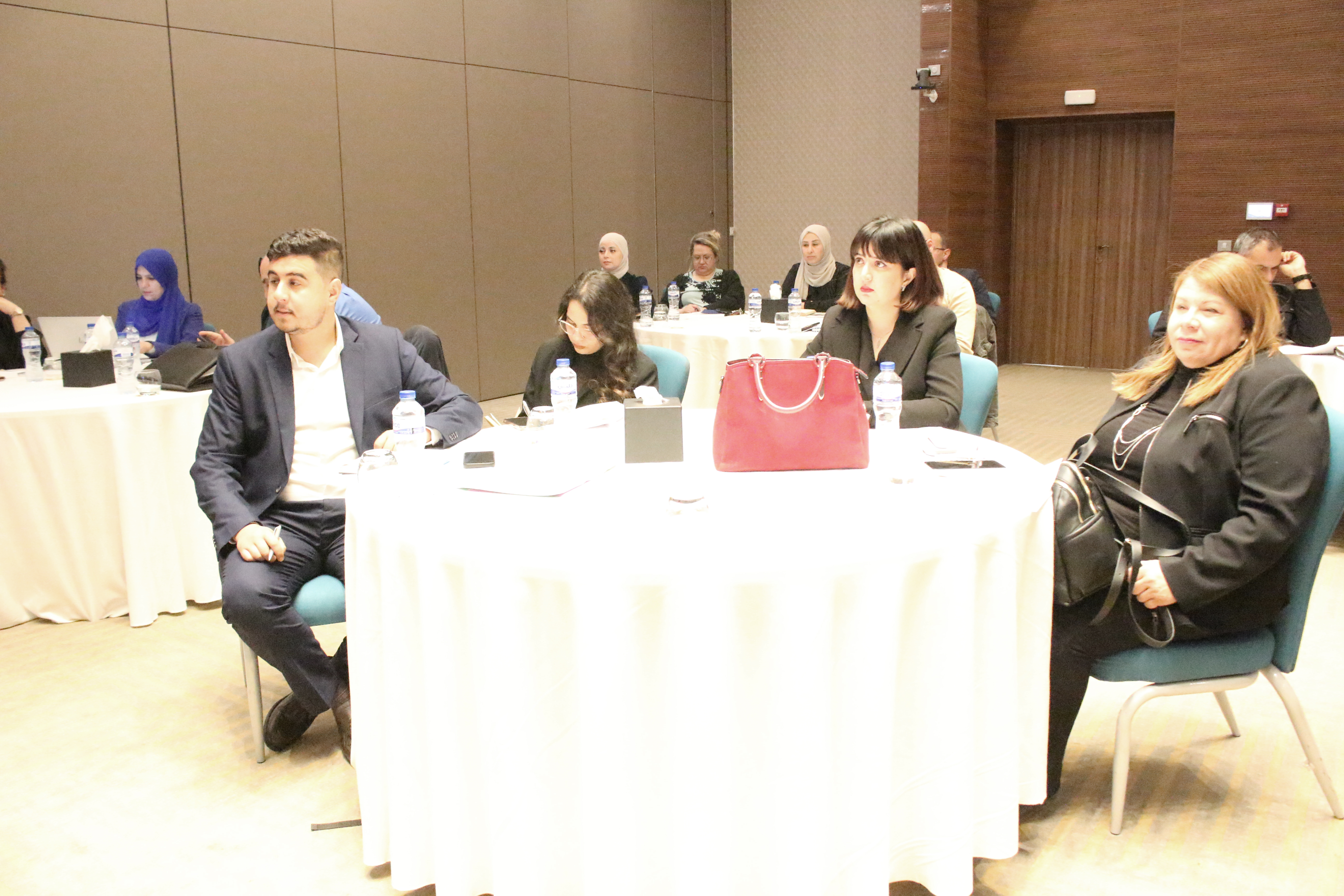
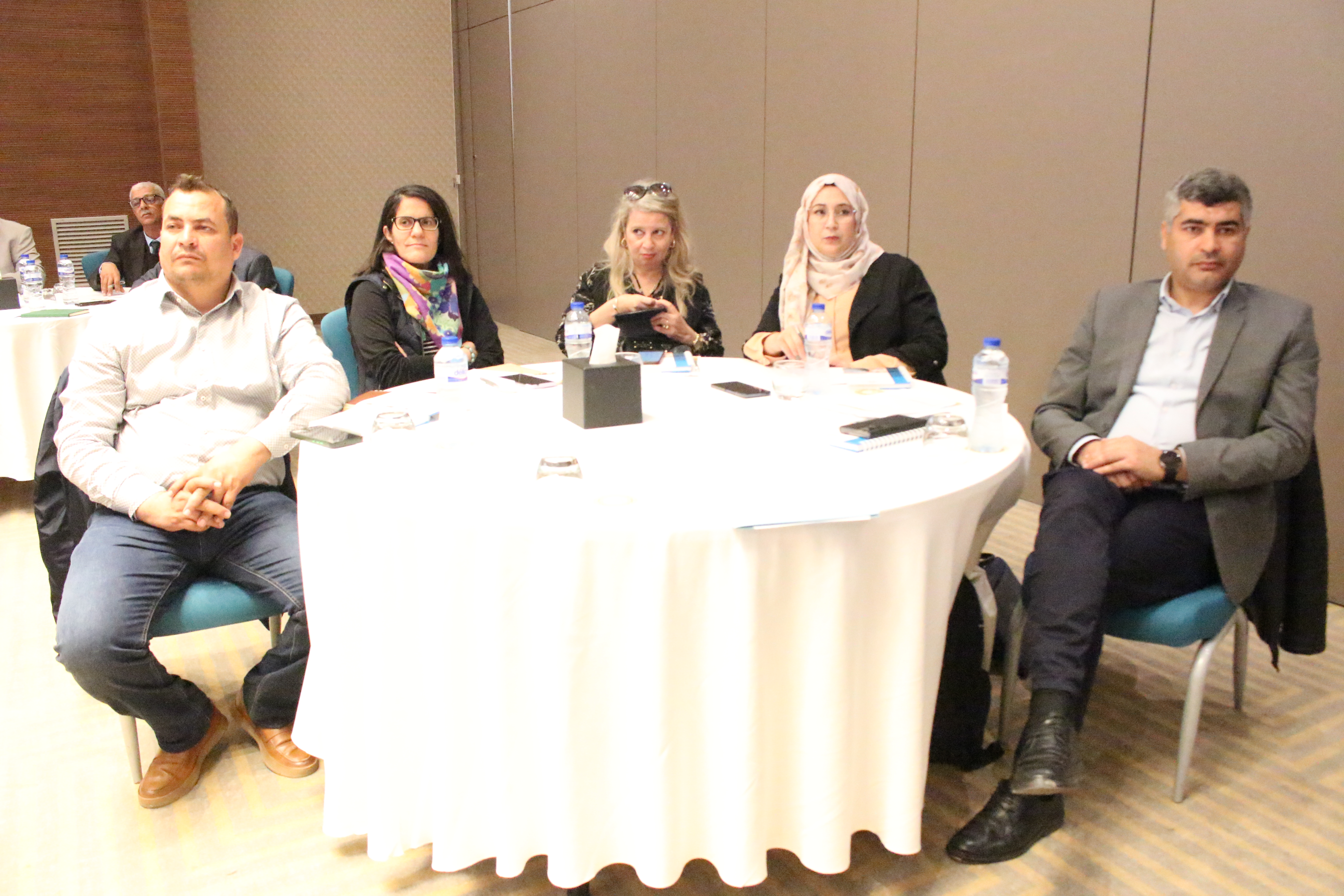
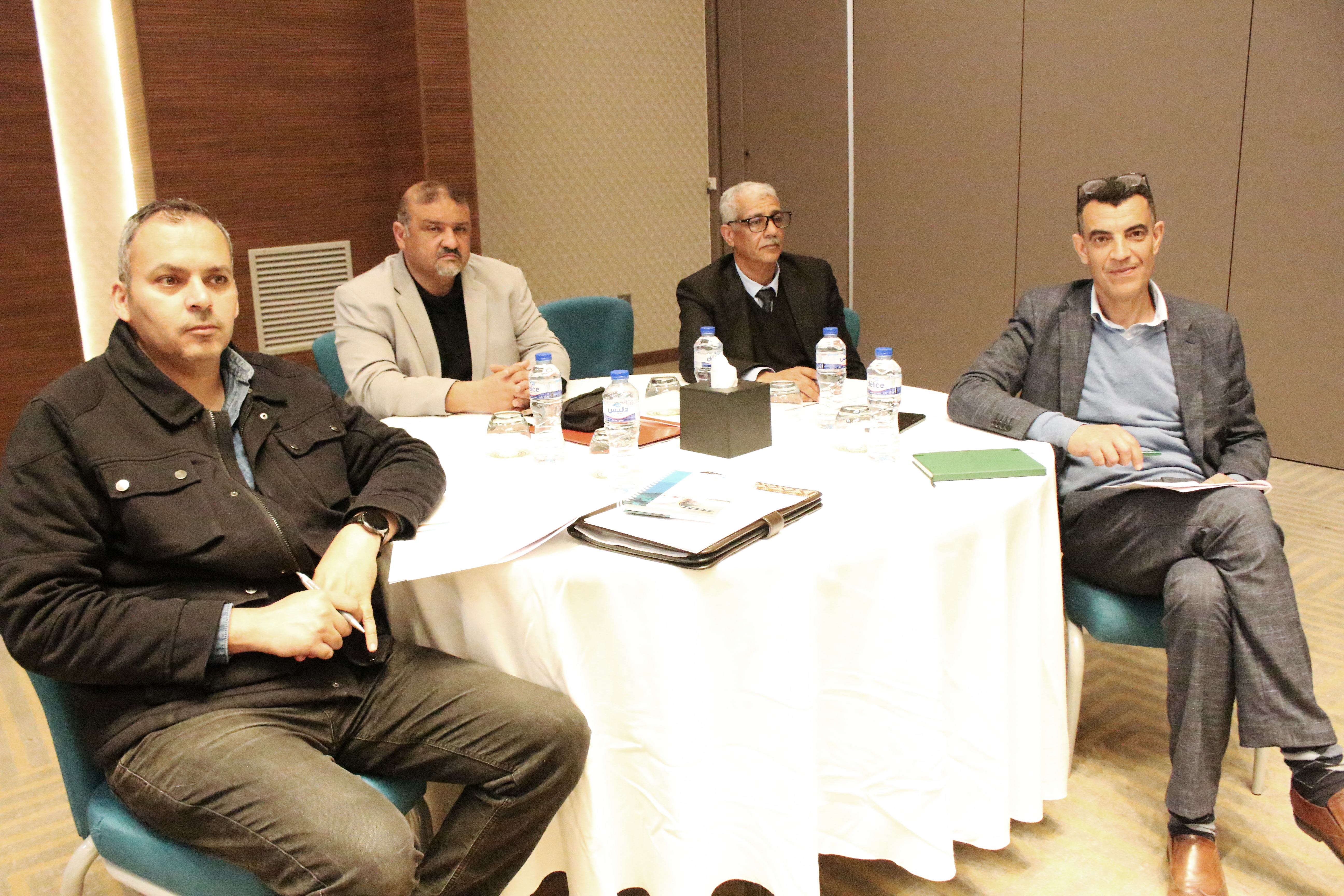
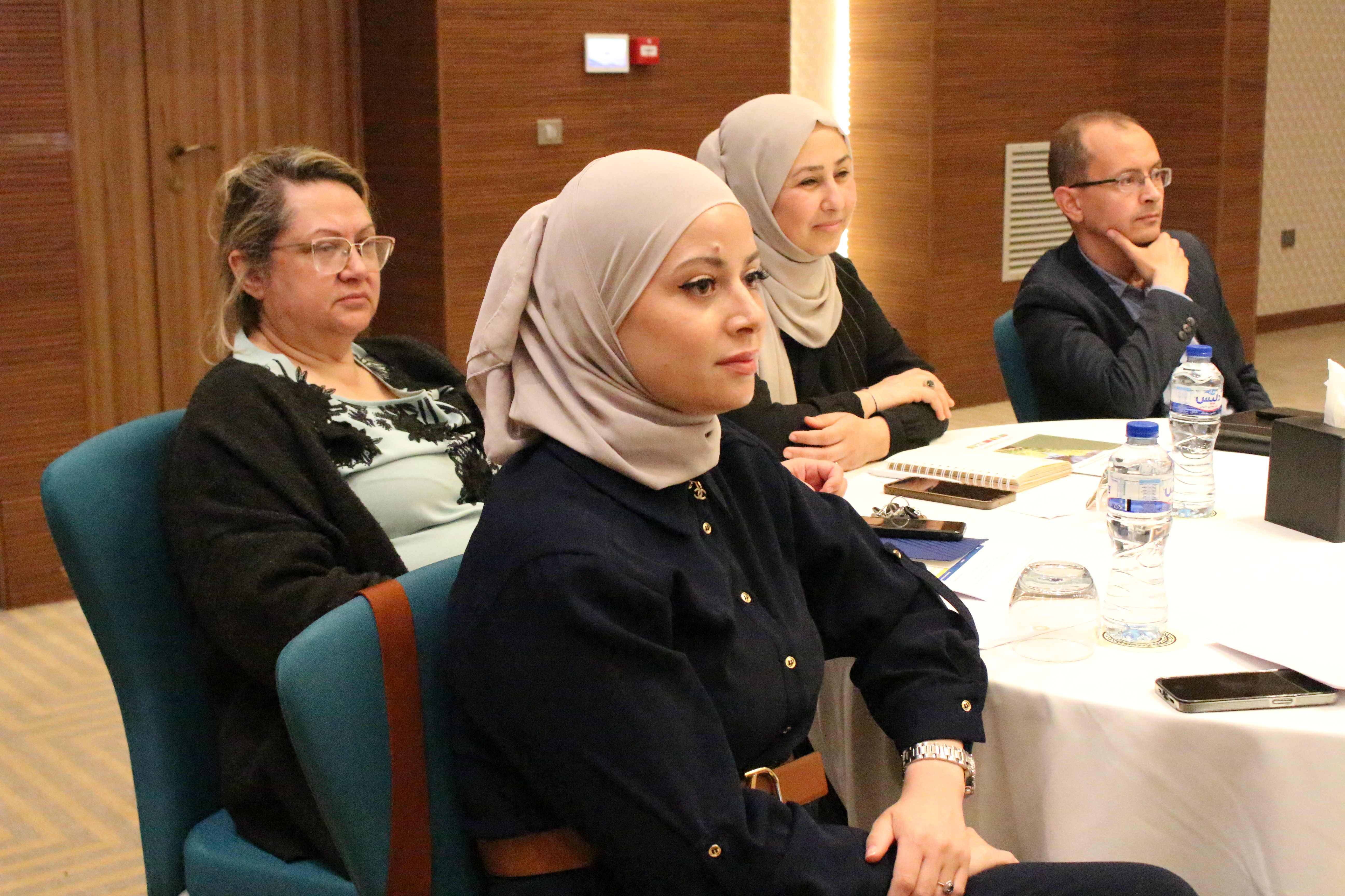
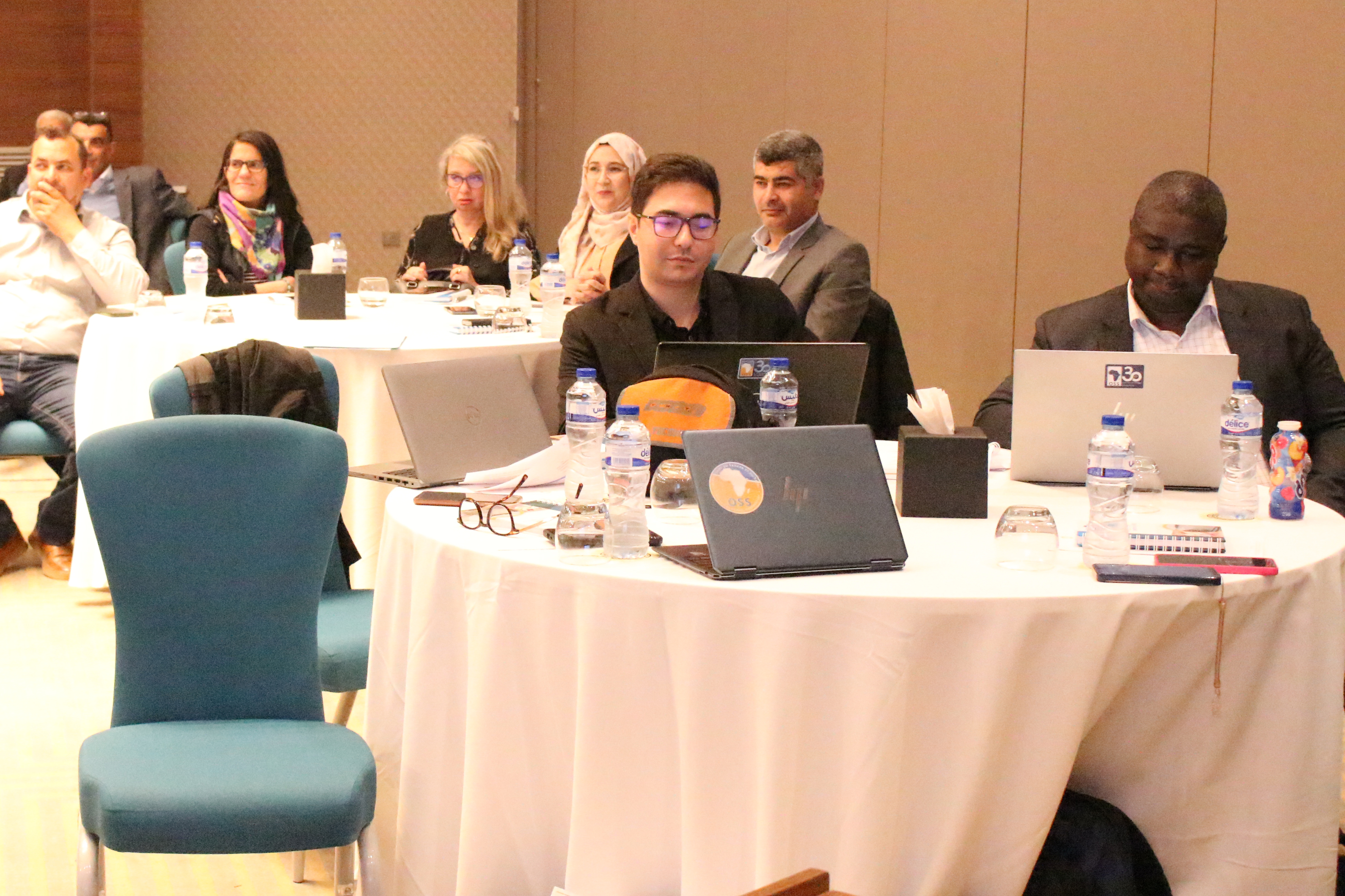
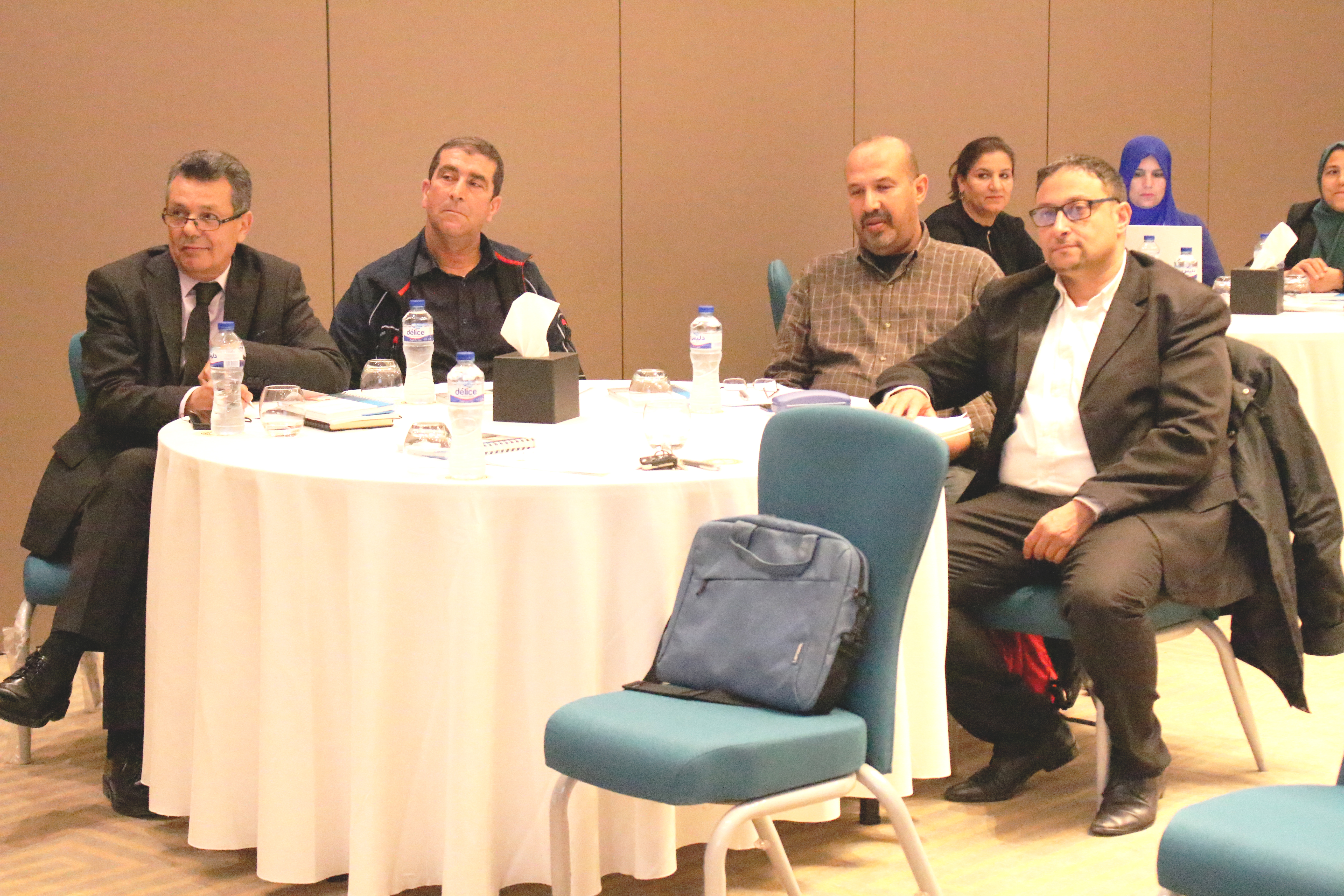
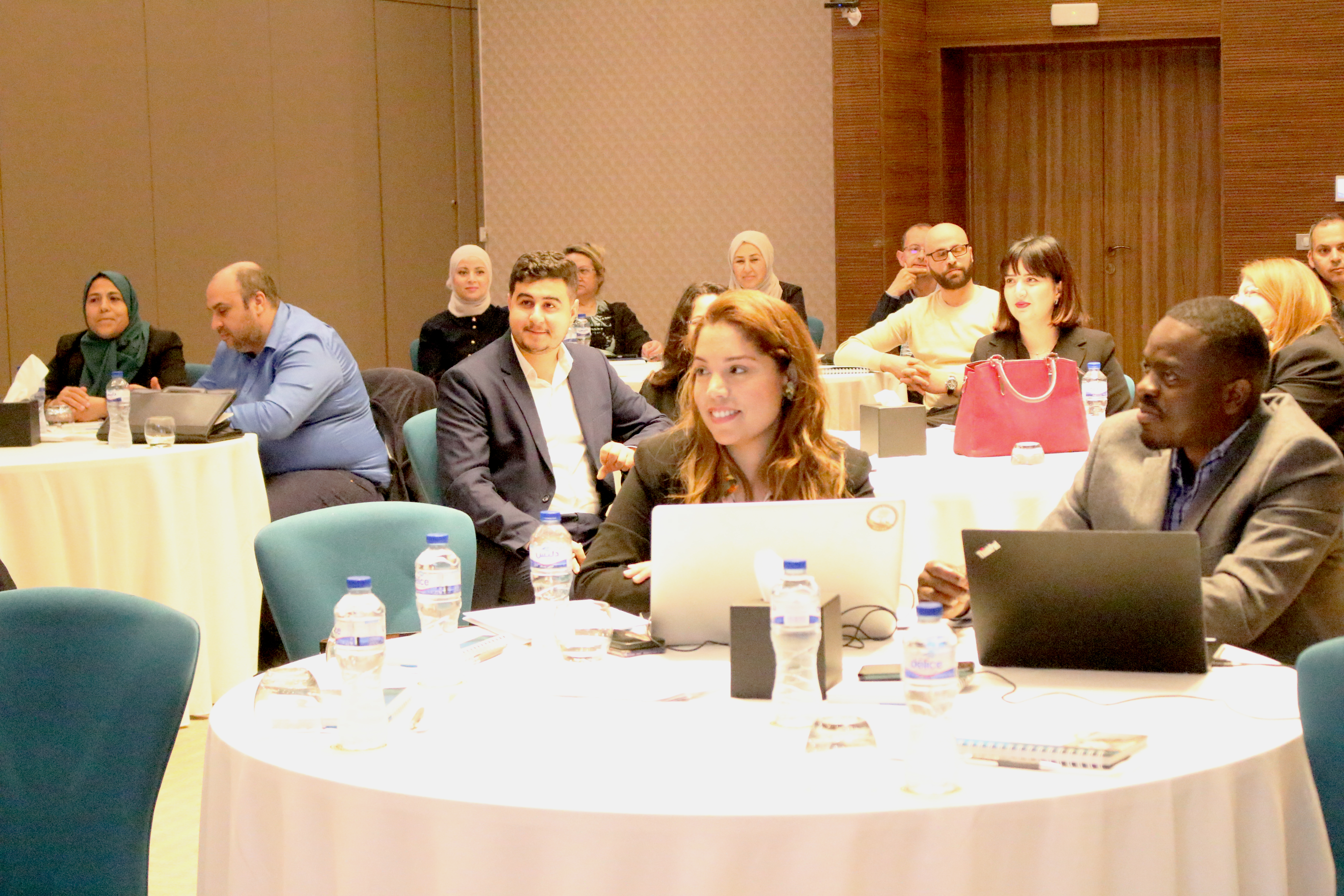
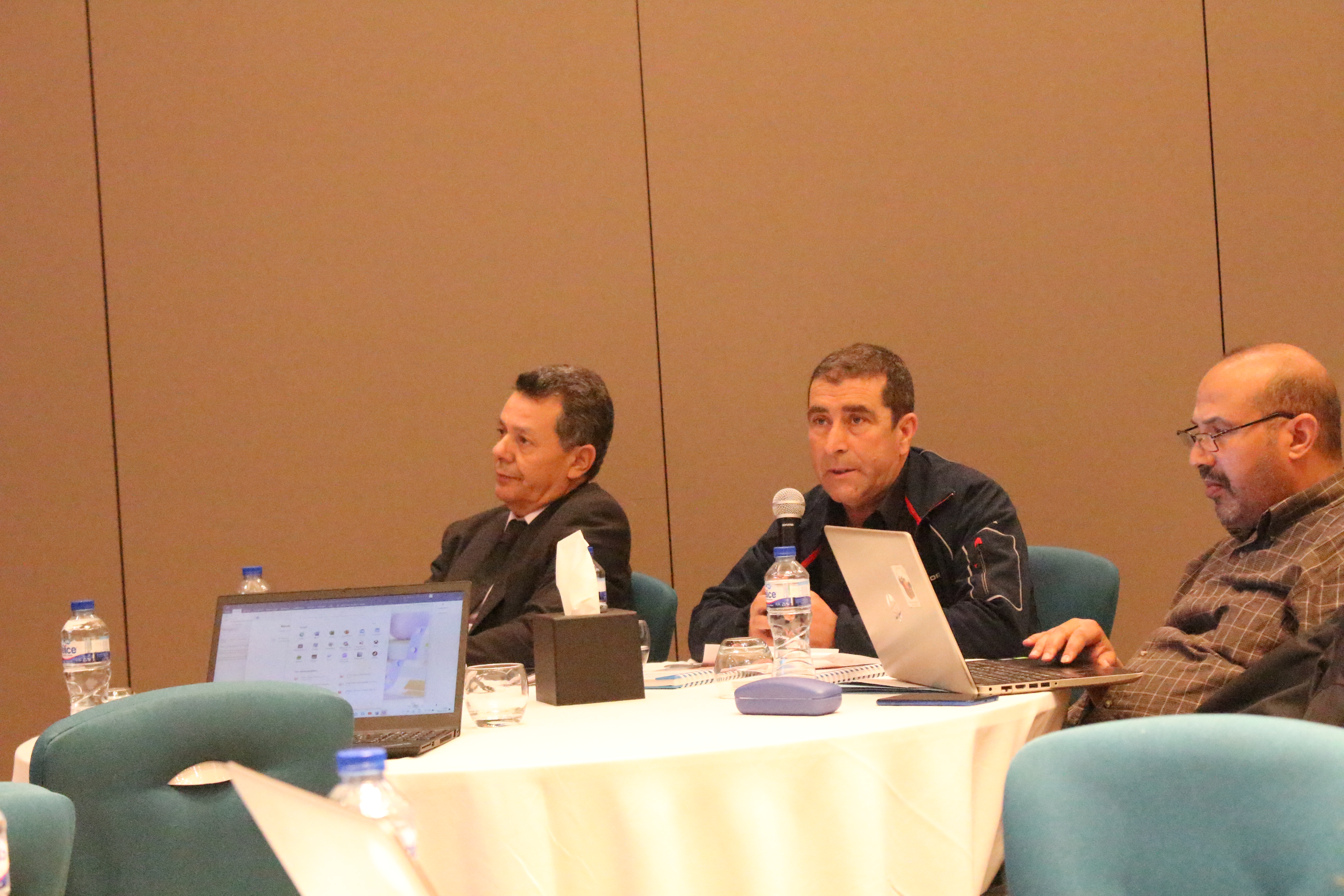
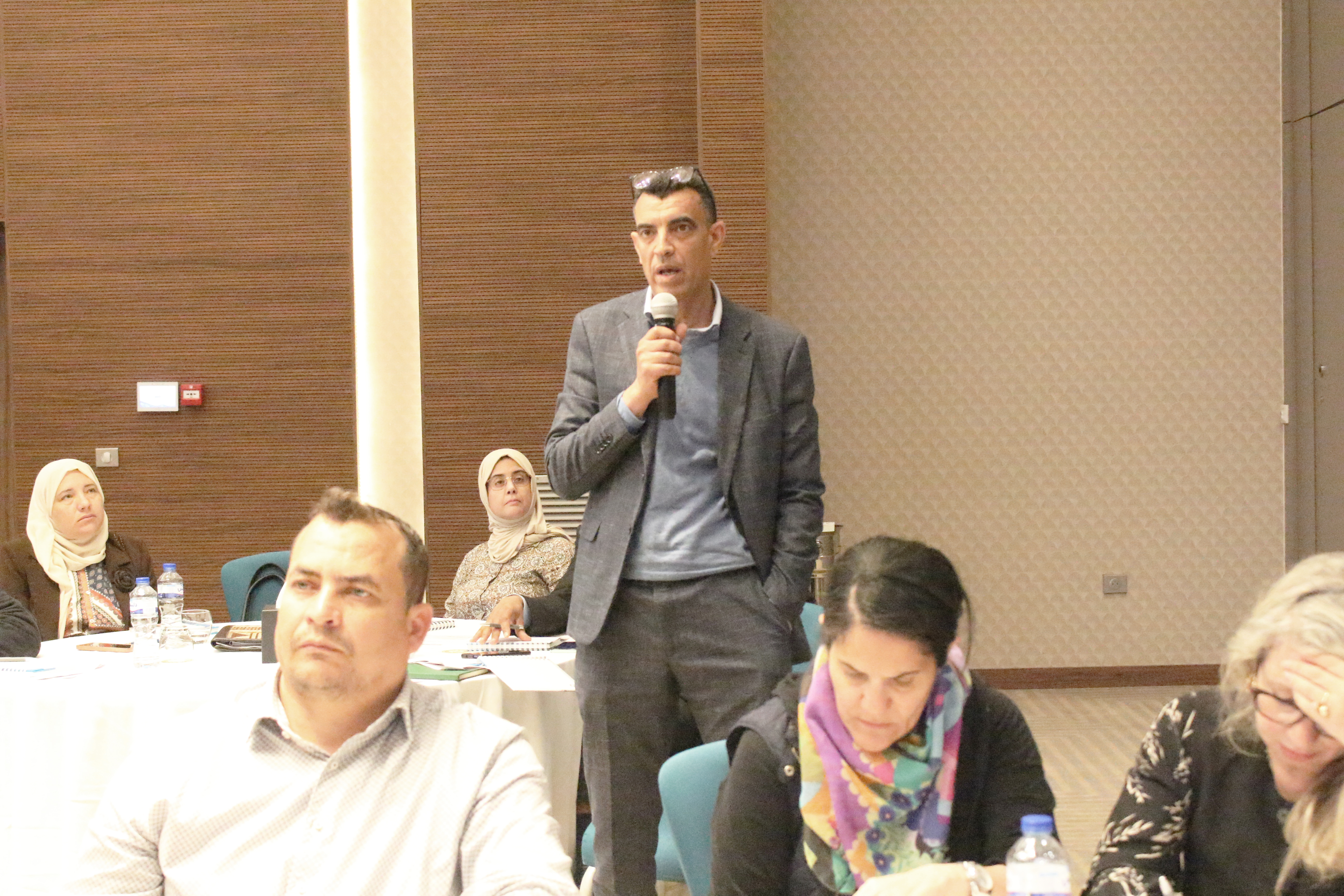
The event brought together members of the COPERNICEA technical team in Tunisia as well as several institutional stakeholders, including the Ministry of Environment, the Ministry of Finance, the Ministry of Economy and Planning, the Ministry of Agriculture, Water Resources and Fisheries, the Ministry of Equipment and Housing, the Ministry of Tourism through the National Tunisian Tourism Office, the National Agency for Environmental Protection, the Coastal Protection and Planning Agency, the National Institute of Statistics, the National Statistics Council, the National Institute of Meteorology, the National Center for Mapping and Remote Sensing, and the Bureau of Planning and Water Balances.